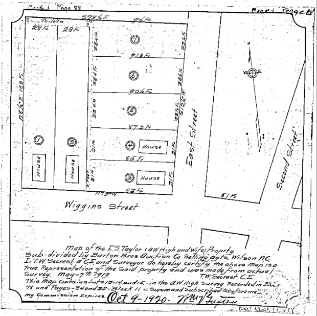
Wiggins Street

Notice of sale of Mincey property.

Wilson Daily Times, 14 March 1955.

Benjamin Mincey died in 1950. In the settlement of his estate, a commissioner advertised a lot on Wiggins Street that Mincey had purchased 17 February 1905. At the time of purchase, the lot bordered property owned by Charles Darden, Daniel Vick, Gilbert Stallings, and James T. Wiggins. It may have been the lot at 712 Wiggins upon which Mincey built the house he lived in when he died. Wiggins Street was obliterated with the construction of Carl B. Renfro Bridge and the extension of Hines Street in the early 1970s.

The Wiggins land.

This plat map of the block bounded by Grace, Gay, Moore and Wiggins Streets was drawn from a survey made 22 October 1914 and proposed a subdivision into twenty lots.

Screen Shot 2020-03-06 at 7.20.14 PM.png

Eight years later, there were only five houses on the block.

Sanborn fire insurance map, Wilson, N.C. (1922).

Here is the block today. Hines Street subsumed Wiggins Street in the late 1960s as part of a road improvement project that connected Raleigh Road and U.S Highway 301. The red-roofed endway house facing Grace Street may be the house shown on the Sanborn map above.

Plat book 1, page 14, Register of Deeds Office, Wilson; aerial view courtesy of Google Maps.

What happened to Wiggins Street?

Screen Shot 2020-04-16 at 2.59.32 PM.png

Wilson Daily Times, 19 September 1968.

Several posts have referenced the disappearance of Wiggins Street, which once ran from the Atlantic Coast Line railroad to Stantonsburg (now Pender) Street, broke for a block, then resumed at Manchester to merge with Wainwright Avenue at Reid Street.

Wiggins Street per the 1922 Sanborn fire insurance map of Wilson, N.C.

The planned route shown in the Daily Times in September 1968 was approved, and Wiggins disappeared under an extension of Hines Street from South Lodge through what was then Factory Street, over the railroad, and on to a merger with East Nash Street.

The corner of Wiggins and East Streets.

In 1920, an auction house commissioned the survey of part of a city block in East Wilson owned by E.S. Taylor. The parcel contained seven narrow lots, four of which already held endway (“shotgun”) houses. A three-foot alley spanned the rears of lots 3 through 7 offering access to the row of shared toilets at the back of lots 1 and 2.

gddhu

Here is the block in the 1922 Sanborn fire insurance map of Wilson, turned about 90 degrees to the right.

As noted elsewhere, there is no longer a Wiggins Street in Wilson. It was obliterated as part of the construction of Carl B. Renfro Bridge and the extension of Hines Street (which runs along the old course of Wiggins) to meet East Nash Street.

None of the houses shown in the Sanborn map now exist. And none of the houses shown in the Google Maps aerial view existed in 1922.